
A balcony overlooking the gulf of San Vito Lo Capo
Monte Monaco rises east of San Vito Lo Capo and with its majesty seems to protect the entire town.
A few years ago, a historic path used by local inhabitants to reach the land where they carried out agricultural and pastoral work was restored.
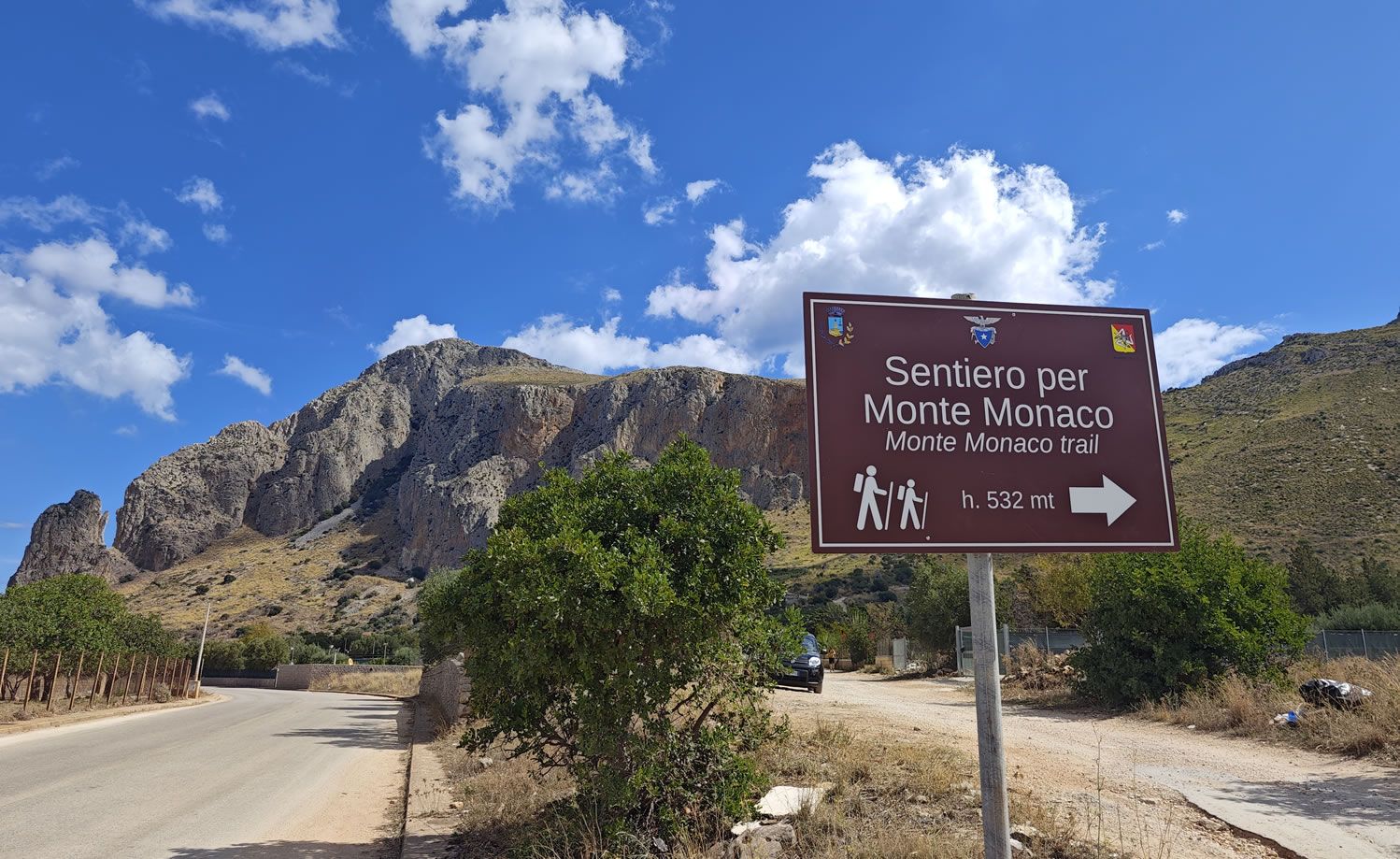
The climb to the mountain can be done from two sides: the east side, which overlooks the Gulf of Castellammare, and the west side, which overlooks the town of San Vito Lo Capo.
The western side of the route starts from the Mondello municipal road, behind the town.
Link to the location of the western starting point:
>>> https://maps.app.goo.gl/Lf23WghFkyJq8xCX6
Along the route you encounter a varied nature, a clear example of Mediterranean vegetation with colors and scents that fill the air.
Near the summit there are the remains of a now disused marble quarry and halfway along you will begin to glimpse a large cross that will indicate the arrival point.
.JPG)
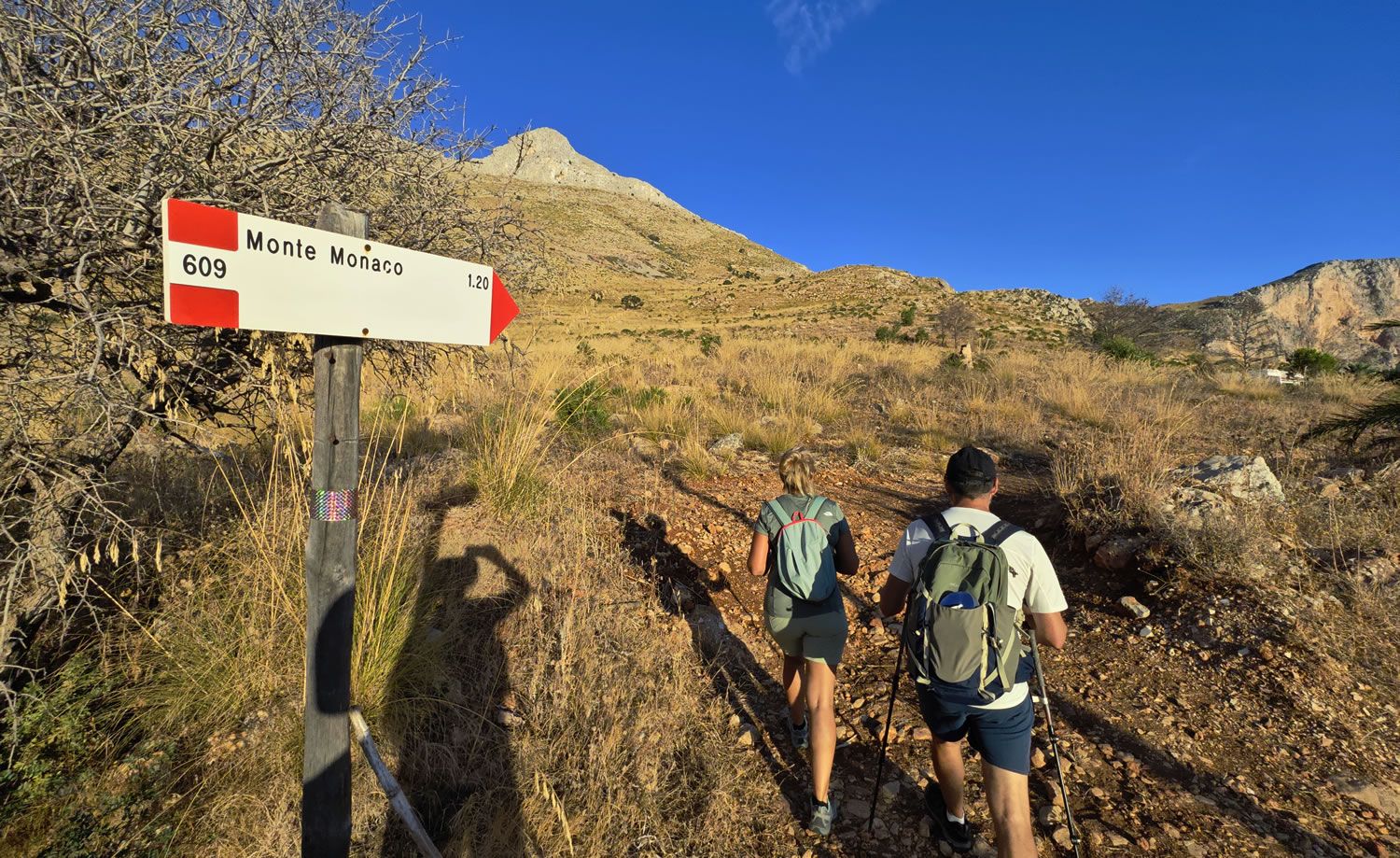
The climb to Monte Monaco can also be done from the east side, which looks out over the Gulf of Castellammare, via the CAI 609 path which starts from provincial road no. 63.
Link to the location of the eastern starting point: https://maps.app.goo.gl/v7AMJFMHQ68ZqqnS9
More than a path, it's an easy-to-follow road that leads to the top.
Monte Monaco is a wonderful promontory jutting out into the Tyrrhenian Sea and is a year-round destination for hiking enthusiasts and nature lovers alike.
At the top, next to the majestic wooden cross, you will find a small niche containing a notebook where everyone can leave their thoughts.
The panorama is 360° and truly unique.

To the west it is possible to admire the coast that goes from Erice to Monte Cofano, and to the east from San Vito Lo Capo to the Gulf of Castellamare and the mountains that overlook Palermo, while to the south the view extends along the ridge of Monte Speziale to Monte Sparagio which closes the Castelluzzo plain to the south.
The route has a medium difficulty level, takes about 1 hour and 30 minutes and can be done even by the youngest children.
It's also possible to descend from the opposite side, following the dirt road found on the upper part of the route. In this case, it takes an hour and thirty minutes to reach San Vito Lo Capo.
Useful information:
Height of Monte Monaco: 530 m above sea level
Route length: approximately 3 km
Average uphill travel time: 1 hour and 30 minutes
Average downhill travel time: 60 minutes
Difficulty: Medium
Helpful tips: wear sturdy shoes (preferably boots) - a hat will be useful, especially in summer - a supply of water - a backpack to carry everything comfortably.


_7474.jpg)
.jpg)